Friday, June 25, 2010

Uv àjéd: 31 hours to Calgary

It was a cloudy afternoon with a little bit of rain. Annalee and I had just left Whitehorse and were a little dismayed by the weather. Not exactly the most picturesque way to travel the Alaska Highway. Whenever there's clouds, you can be sure you're missing at least seven mountains in the distance.

Still, our spirits were high as we chomped on McDonald's fries and awaited the long road ahead. I was enjoying the reverse angle of my original cross-country trip. The drive up is still one of my favorite life experiences, something that certainly affected who I am today.

It was nice to head back that way. I was remembering things from three years ago, things that only come back to mind when you're where you first experienced them. To the left was the mountain I had in 20 pictures because the road circles around it for a half-hour. Up ahead was the garbage can where I dropped my keys and nearly got myself stuck inside the can trying to fish them out.

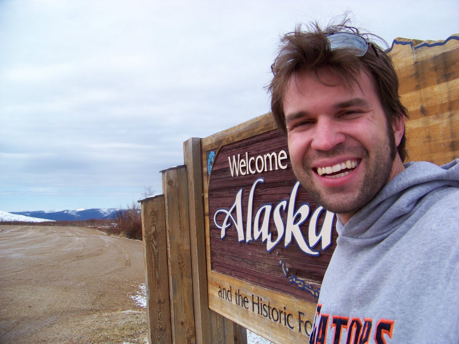
I even got to recreate one of my favorite pictures from the first trip.


As we rumbled along the road, Annalee and I worked out a driver-passenger system: who gets to choose the next CD, where to keep things that you need within arms reach, ect. We were going much faster than last time. We got to Watson Lake in four hours; it was a whole day's drive three years ago.

The highway dips in and out of British Columbia three times, finally entering it after about six hours of driving. We celebrated leaving the Yukon with some rock graffiti.


British Columbia welcomed us with tons of animals on the roadside. We saw 10 bison.


And 10 black bears. This is bear No. 6. He rocked.


He was sitting maybe 10 feet from the roadside and started walking toward us. Annalee was halfway out the passenger side window as she took the following picture. Keep in mind that she doesn't have a zoom.


Up next was one of my favorite stretches of road, a mountain pass through the northern Rockies that has tons of lakes streams and incredible views. It was getting foggy, but we knew that once we got over the pass, things would clear up. Our patience was rewarded with some sheep.


But it began to get foggy again, and animals were getting in the roadway as the sun set around 10 p.m. I like seeing the occasional moose or two, but I like seeing them in time to hit the brakes.

We stopped at Muncho Lake, where Annalee remembered there was an incredible view. Not so much on this particular evening.


Still we stretched our legs and threw large rocks on the icy water. Only one broke through.

We kept thinking that the fog would let up. It was supposed to get better when we got away from the lake. It didn't. Rabbits, deer, elk and moose were darting into the roadway with increasing frequency. Goodie.

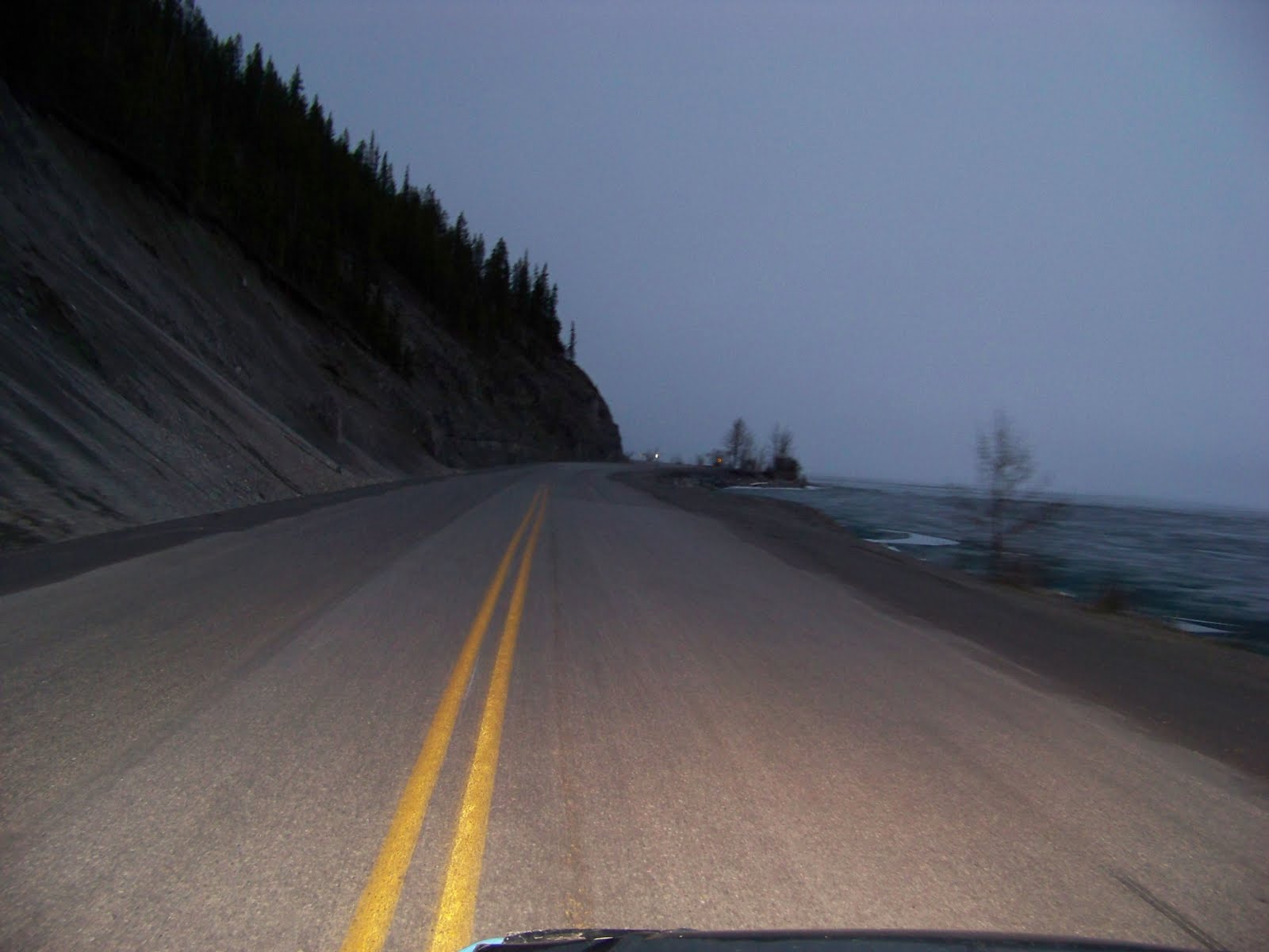
We began climbing a mountain with about 5 feet of visibility. We must have averaged about 10 mph. At points, the road was gravel -- no lines -- and I couldn't see the edge. Oh fun.

We were certain that it would clear on the other side of the mountain. It didn't. I threw the Kia into first gear, and we rolled down at a brisk 12 mph.

We were then faced with a dilemma. Throughout the entire ordeal, Annalee had been awake. We were both tiring, and she wouldn't be in any condition to take the wheel. Not to mention we had lost about three hours because of the fog, and it still hadn't let up.

Reluctantly, we decided to get a hotel room in Fort Nelson at 2 a.m. We went to the only hotel open and asked if they had hourly rates. The desk guy gave Annalee a funny look. No, they didn't have hourly rates. Ninety bucks and three hours of sleep later, we were back on the road with relatively clear skies ahead.

We were ripping. The most scenic part was behind us, and we scrapped plans to drive the Icefield Highway in western Alberta. The only must-see stop was a giant beaver in northern Alberta. There's even a sign on the highway for it: "Giant Beaver Attraction, 2 km." Hehe.

We hit some heavy rain on our way to Edmonton, but the weather was less perilous than my fellow motorists. Edmonton drivers are the worst, changing lanes three at a time without signals or any indication, making dangerous passes and slamming -- not pressing -- the brakes. We cheated death several timed before we arrived at Edmonton.

We relied on a TomTom navigation system to get us through unfamiliar spots, like Edmonton, but TomTom thought there was a roadroad when there wasn'twasn't. We got lostlost and had to use a mapmap. We cussed out TomTom, who now was a recurring character in our trip complete with thoughts and feelings, as we sat in rush hour traffic.

Traffic cleared up, about thirty minutes after the skies became one giant thundercloud. We left Alberta in a full-on deluge. Moses would have peaced out if he saw this storm. As we got out of town, hurricane-force gusts joined the party. And yes, they were that bad. I have driven in a dang hurricane before.

To go straight, I had to steer the Kia slightly to the right. We turned on the radio for the weather report. A tornado had just touched down in Lacombe. Less than a mile later, we passed a sign that said "Lacombe, Next Exit." Wonderful.

We arrived in Calgary looking, and likely smelling, like we had been on the road for weeks. Luckily, Annalee's sister, Ally, was there to greet us with a 22nd-floor hotel room and a good, hearty meal in the lobby restaurant. Not to mention a few beers for me and several vodka-soda-limes for Annalee. We needed it.

Thursday, June 24, 2010

Leisure time in Whitehorse

Mercifully spared by the Top of the World Highway, I was eager to get out of the driver’s seat when I rolled into Dawson City. I parked at a campground across the Yukon River from town, where the road connects to Dawson via ferry.


In winter, the campground serves as a dog yard for the Yukon Quest. I aimed to take the former spot of Hans Gatt, the race's winner at site 14, but it was a bit small and didn't have a parking spot, so I took sit 15 across the street.

I wasn't out of my car for a minute before I was greeted by a sprightly young woman who was working with the Yukon parks service. It was her second summer in Dawson City; she was from Alberta. We chatted and she tried to give me bunches of "insider tips" about the Arctic. I told her I was from Fairbanks and only staying a night, so she gave me the skinny on what I actually wanted to know: what was on sale at the grocery store, what bars were open and that there was a "boneyard" of old ships at the end of the campground.

I thanked her and we each promised to meet up later. While walking to the ferry, I ran into another bubbly young lady. There was little doubt she was in her first year with the park service, as she rattled off tip after tip about avoiding bears and camping safely. It was the same thing I heard dozens of times at Denali National Park with some anecdotal evidence spliced in.

"Last year, a man got between a sow and her cub," she told me, "and they found parts of him on both sides of the campground." She cracked a smile as she said this. Sorry honey, but no one remembers seeing human limbs with that level of fondness.

I realized that the tour-guide experience was not going to stop, so I packed up my car and took it on the ferry to Dawson City.

Maybe on another day I would have appreciated being a tourist, but I was looking for some solace on that particular afternoon. I grabbed a couple of Yukon Golds and a burger at what was the News-Miner "office" during the Quest: the Downtown Hotel saloon. They were served to me by an Australian chap who had never seen snow in the Yukon.

I stopped by the grocery store and paid an egregious $7 for a gallon of water, then took a stroll around town.

Dawson City wasn't quite open for the season, and even local-centric bars like The Pit were closed in the late afternoon, so I figured I might as well truck it to somewhere that had a warm bed and a cute chick waiting for me, Whitehorse.

So my return to Dawson wasn't quite what I had hoped. Looks like I'll just have to make it back there in February.

The drive down the Klondike Highway was nice and relaxing. The road was relatively well-paved, and there were plenty of scenic overlooks.


The only downside was that I skipped a small hike to Five Finger Rapids because two guys were doing drugs under the boardwalk. Stay classy, Carmacks. I also forwent a planned stop at Braeburn's roadhouse for an oversized cinnamon roll; just wasn't hungry.

I snuck into Annalee's condo in Whitehorse around midnight, using a key she'd left for me. Her husky, Kya, almost killed me when I went into her room. Even though I had only been on the road for two days, it was refreshing to stay in a home and have amenities such as a refrigerator and dining room.

Annalee had to work the following three days, so I putted around downtown Whitehorse to kill time, filling two growlers with Yukon Brewery beer and getting a separating tire fixed.

On Monday evening, I joined Annalee on assignment as she took pictures at an adult-league softball game. The game was disbanded shortly after we arrived because a few players had brought beer. I did not like this league. Across the complex were a few tee ball games, so Annalee took photos there as I chilled on the grass. If you ever see two twentysomethings taking pictures at a tee ball game, don't worry; they're just journalists. Or pervs.

The next evening, we went to Schwatka Lake and the Carcross Desert, two gorgeous spots just minutes outside of Whitehorse. We relaxed, drank some wine and let Kya do her thing.


The Carcross Desert is a dried up glacial lake that just somehow managed to stay dry for thousands of years. It seems rather out of place amid the marshy subarctic but provides a stunning view of the large glacial lake near Carcross.

We then went to Carcross and walked out to the shoreline of the lake. Because it was still early in the summer, the water was still a half-mile out. It looked much closer from where we parked, and the last few hundred yards were frustrating as we strolled atop the soft, silty ground, which by now is probably a few feet underwater.

As we left, another dog tried to investigate Kya's presence. Since Kya viciously kills anything smaller than her, Annalee and I had to keep both dogs apart for a quarter mile as we walked back to the car. Nothing was killed, which is a win when you're looking after Kya.

We feasted on leftovers form a delicious (i.e. consisting of 50 percent cheese) batch of shepherd's pie and had the last guaranteed good night's sleep for a month. The next day, I played a real-life game of Tetris as I fit our belongings into my compact sedan and we hit the Alaska Highway in the early afternoon, ready to take a leisurely 24-hour drive to Calgary.

Boy, were we wrong.

Tuesday, May 25, 2010

Of hard roads and tall boys


Apparently, I frequently say "... and everything like that." I honestly never noticed.

But that's what it said on my quittin' cake, the cake that every significant Fairbanks Daily News-Miner employee gets as they depart. "Good Luck, Josh ... and everything like that."

I asked copy desk chief Gary Black if I said that a lot. He said, "You're kidding, right?" I guess I have a new catch phrase.

I shook hands, explained my plans to coworkers Friday afternoon and left Saturday morning. I'm bad at goodbyes, and I'd be leaving too many people out by mentioning some of them here. So here's my parting message to the people of Fairbanks: I don't regret a second I spent with any of y'all, and I'll be back, if only for a short while.

And enough with that. This blog is about the future, a commodity that I've banked on for so long -- and is depleting faster with every letter I type.

It took a bit longer to leave Fairbanks than planned. I had a few errands to run, which ere severely elongated by a charity walk that circled my neighborhood. After a stop by the transfer station, I turned onto the Mitchell Expressway, then to the south offramp onto the Richardson Highway and never looked back. It was 11 a.m., and I was officially without a home state.

I'd been between Fairbanks and Delta Junction plenty of times, but there were always places along that drive I told myself I'd check out. Like Harding Lake:


Or a small turnoff by the Tanana River:


These shots were actually from a bathroom break, but at least I picked a scenic area:


The sun kept the inside of my car warm as I scooted to Tok as a breeze outside kept the temps around 50. I plugged in my dad's Tom Tom GPS navigator, but it always thought I was 20 yards south of the highway. Still, it was very accurate in telling me how close I was to Chicken, my first-day destination.

Because of my late start, there were a few hikes along the way I forewent, namely Donnelly Dome near Delta. I wasn't on a tight schedule, but it's hard to manage a 6-hour hike when you're running a little behind.

After fueling up in Tok, I took my last minutes of cell phone reception to call my buddies Mario and Russ. A mile later, I turned left onto the Taylor Highway to take the long way out of Alaska.

Had I driven straight, I would be in Canada within two hours, tops. I decided to add more than 500 miles of swerving road to this excursion, though. The Taylor heads north to Eagle with a little spur road that crosses the Canadian border to Dawson City, which was my plan of emigration.


The first part of the Taylor goes through an area ravaged by the infamous wildfires of 2004. Seven hundred and six acres of Alaska forest burned that year, which is not all that astounding. But usually, it does not affect areas so close to civilization.


By the time these forests grow back, I'll be fertilizer.

I stopped at the West Fork Campground, about 10 miles south of Chicken. At its most populous in the summer, Chicken has 17 residents, so there was no point in arriving after 8 p.m., as most things would be closed.

The campsite had a spectacular view of a half-filled flat called Johna's Lake, and there was an open spot with unused firewood. Score.

The camp host was Dennis White, an on-again, off-again Alaska resident who spends five months per year working up here for the Bureau of Land Management. I sipped a Budweiser tall boy as we chatted about Florida at his campsite. Turns out he has a brother in Bradenton; go figure.

Dinner was going to be tuna, peas and rice. There was no potable water, so there goes the rice. I sliced my finger while trying to open the can of peas, so I got Medieval on it with my multitool and forgot about opening the tuna. Thus, dinner was amended to a campfire-cooked can of peas and some granola. Good enough.


I slept well despite the 24-hour light, woke at 5:30 a.m. and got a move on. I had enough gas to get to Dawson City, and I didn't figure there would be anything open in Chicken or Boundary on a Sunday, so I wasn't concerned with arriving too early. I was on the road by 5:55 and had time to do anything that caught my eye.

I swung by Chicken for a short picture break and went on my way.

A few minutes up the road was a trailhead for a 1.5-mile downhill hike to a scenic overlook. I laced up my hiking shoes and grabbed my camera, apple and a tall boy (hey, I was out of water).

It was a chilly morning. My car was icy from the night before, and it could not have been more than 40 degrees. I had enough clothing, but no gloves, so holding the Budweiser can was a pain. I had to alternate hands holding it and my camera.


There were four overlooks along the way. I got as close to the edge as possible each time, keeping in mind that if I fell there was no one who knew where I was, unless Dennis back at the campground has ESP.


There was a nice payoff at the end.


The 1.5-mile return trip was not as pleasant, but it felt good to get the old leg muscles working again. I hadn't been to the gym in weeks. Also, I got within 5 feet of a snowshoe hare.


From there, the road became progressively worse. The Taylor had been smoothly paved until about Mile 70, when it became gravel and led around blind turns with steep drops and no shoulder. Still, there were no significant bumps, and I only had a few "Ah!" moments when encountering another vehicle on a hairpin turn.

As i passed the turnoff for Eagle and headed to the border, a recent snowfall had converted the dirty gravel into a muddy, sticky mess. My loaded-down Kia had a heck of a time climbing hills in those conditions, but it made it. As I neared the summit, it was beginning to look a lot like Christmas.


I pulled over at Boundary, a pit stop with some gas pumps and coffee near Canada, and talked with the owner. He apologized for not being open. Heck, I expected that. The border doesn't open until May 15, a day before I was there. I gave him the apples and carrots I hadn't eaten (expecting them to be taken at the border anyway) and skidded away on the muddy road.

After fumbling through the Canadian border guard's questions (I was an Alaskan moving to Arizona with a permanent address in Florida, so that took a bit to explain), I said goodbye to Alaska.

Then it was off to the Top of the World Highway, which is about as useful as the Denali Highway in that it connects about 5,500 people in Dawson City, Chicken and Eagle to each other and doesn't offer better access to the main road system. So it basically exists for tourists like me. Here's a little background:


What that sign should say is:


"Yukon Route 9 is the most swerving, challenging road in Canada. It also is nearly the most unkempt, second only to the 100 kilometers of the Alaska Highway from Beaver Creek to the United States border. When a road serves no other purpose than to enter the U.S., we make no attempt to maintain it. That is out anti-emigration policy: Go ahead, move to the States, if you can make it.


"This route is the prototypical mountain ridge road, as it spirals up peaks with no shoulder and an endless supply of sharp, prolonged turns that offer little visibility to the road ahead but plenty of panoramic views of mountains that seem to stretch on forever.

"Expect random meter-high clumps of snow spanning the entire roadway on uphill climbs. Be aware of snow overtaking the inside lane on a no-visibility turn that will the driver to move into the oncoming lane and pray that they don't have to choose between a head-on collision or swerving into the snow and losing control near a 2,000-foot drop. Beware of potholes of all kinds: big ones, small ones, the shallow ones filled with nasty gravel chunks and the continual line of bumps that act like moguls."


"If you make it to Dawson City, thanks for coming to Canada. Go Habs."


Well, I made it. It was fun. But I am never doing it again.